Sebrim
Well-known member
Moderator
Awesome Player
Fixed Force Club
Knights of MC Realm
M.C. Play Testers
The Borg
The Wiki Bar
- Joined
- Feb 15, 2013
- Messages
- 1,513
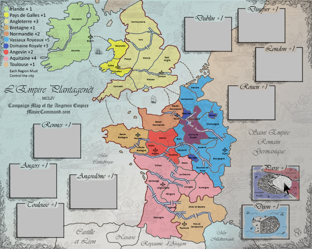
Thanks, Oggyyy! That makes it a bit clearer. Don't worry about the 48 thing. anything above 36 is perfectly fine. We have many big maps, and this one would be a bit smaller ")
What about you add the colours to the bordering region in the cities? So, to the north, it would be light blue, and to thewest and east it would be darker blue? Maybe matted a bit, but I think it would help.
I'm also wondering a bit about the river crossings you have added everywhere. I undestand it in Domaine Royal, but would it maybe be an idea to have the only river crossing in Normandie within the city of Rouen? Same in Bretagne within Rennes. That would add an interesting twist to taking these two commands London is that way already, right? And Dinefwr is on the border, right? I like the fact that the cities have different kinds of relations with their surroundings. And your hand drawings promise to be something really special!
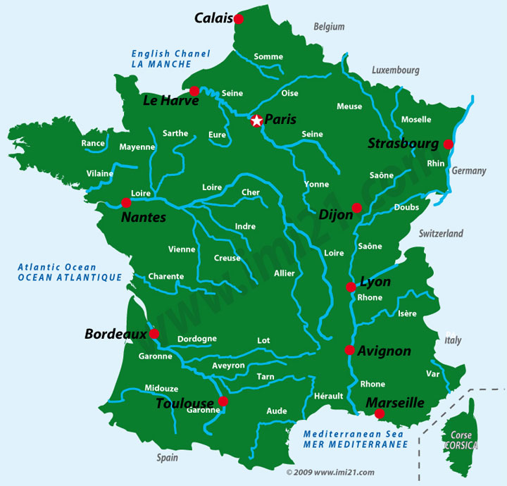
Btw, what is that river running right across the continent from the Atlantic to the Mediterraneran? If it is meant to block access, I would definitely prefer to have some mountains in the middle, because that defies Geography.
The command called Toulouse, would you not rather want to call it Languedoc or Midi or Provence, or something?
What about you add the colours to the bordering region in the cities? So, to the north, it would be light blue, and to thewest and east it would be darker blue? Maybe matted a bit, but I think it would help.
I'm also wondering a bit about the river crossings you have added everywhere. I undestand it in Domaine Royal, but would it maybe be an idea to have the only river crossing in Normandie within the city of Rouen? Same in Bretagne within Rennes. That would add an interesting twist to taking these two commands
London is that way already, right? And Dinefwr is on the border, right? I like the fact that the cities have different kinds of relations with their surroundings. And your hand drawings promise to be something really special!Btw, what is that river running right across the continent from the Atlantic to the Mediterraneran? If it is meant to block access, I would definitely prefer to have some mountains in the middle, because that defies Geography.
The command called Toulouse, would you not rather want to call it Languedoc or Midi or Provence, or something?